Genesys International Corporation Limited has secured a major project from the National Mission for Clean Ganga (NMCG), under the Ministry of Jal Shakti, Government of India, for conducting an advanced aerial LiDAR survey and geotagged videography of the River Ganga drainage network across four states. The large-scale project will cover the Ballia-to-Farakka stretch spanning Uttar Pradesh, Bihar, Jharkhand, and West Bengal. The assignment involves the deployment of both manned aircraft and unmanned aerial vehicles (UAVs) to generate high-resolution geospatial intelligence datasets for the river corridor and connected drainage systems.
The project marks another significant milestone in the use of geospatial technologies for river management and environmental planning in India. Genesys International will undertake aerial LiDAR mapping, photogrammetry, orthorectified imaging, and geotagged videography of natural and man-made drains that merge into the Ganga river system.
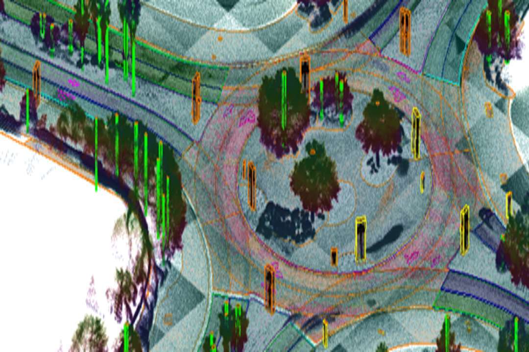
The company said the assignment is designed to create a highly accurate digital representation of the river corridor, enabling improved river assessment, drainage identification, terrain analysis, infrastructure planning, and long-term environmental monitoring. The project will also generate advanced outputs including 3D LiDAR point cloud data, orthorectified imagery, annotated aerial video records, and geotagged drainage information.
According to the company, one of the unique aspects of the project is the speed and efficiency achieved through the integration of its aerial sensor technologies and drone-based surveying systems. Sajid Malik said the project reflects the growing role of integrated aerial survey technologies in developing large-scale river intelligence systems for India’s environmental and infrastructure initiatives.
He noted that the combination of manned aerial systems and drone-based data collection can create highly detailed river intelligence frameworks capable of supporting multiple development and restoration programmes. He added that this emerging geospatial segment has significant potential in areas such as floodplain management, wastewater planning, environmental restoration, and digital basin management systems.
The datasets generated under the project are expected to support several critical applications, including identification of pollution hotspots, mapping of drainage confluences, wastewater interception planning, flood-risk assessment, river-edge infrastructure development, terrain modelling, and environmental compliance monitoring.
The initiative also highlights the increasing adoption of geospatial technologies in public infrastructure and environmental governance projects across India. By integrating aerial LiDAR, drone videography, and high-resolution mapping capabilities, the project aims to provide authorities with decision-ready digital intelligence for effective river basin management and future urban planning interventions.
Genesys International Corporation Ltd is a premier player in advanced mapping solutions. With a team of over 2,000 professionals and a comprehensive network of sensors across India, the company is at the forefront of developing the new digital map infrastructure. Genesys is known for its deep understanding of emerging consumer applications in mapping technology and its ability to deliver cutting-edge solutions for enterprise and government markets.