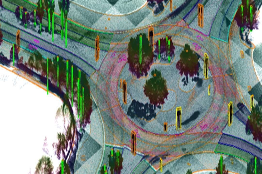
Genesys International has introduced India’s first 3D subsurface mapping capability, addressing a critical requirement in infrastructure development and modernization. The new solution combines advanced Ground Penetrating Radar (GPR) with high-precision LiDAR to deliver detailed mapping of underground utilities and structures.
As part of this launch, Genesys has been awarded a significant contract to conduct the country’s first large-scale 3D GPR survey across multiple airports operated by the Adani Group, including Mumbai, Trivandrum, Lucknow, Jaipur, Guwahati, and Ahmedabad. The initiative will also generate comprehensive 3D Building Information Modeling (BIM) for airport infrastructure.
This project expands Genesys’ portfolio of major geospatial and digital infrastructure programs in India and internationally. The company has already undertaken large airport digitization assignments in global aviation hubs and continues to scale its expertise in smart infrastructure mapping.
The contract—valued at ₹17.38 crore—was awarded by Bureau Veritas, a global leader in testing, inspection, and certification services with a nearly two-century legacy in supporting infrastructure quality and safety worldwide.
“As India accelerates infrastructure upgrades, precision geospatial intelligence is becoming essential,” said Sajid Malik, Chairman and Managing Director, Genesys International Corporation. “Our 3D subsurface mapping will redefine how underground assets are visualized and managed. This project strengthens India’s position in next-generation digital mapping and reinforces our commitment to bringing global-standard technology to the country.”
The initiative follows recent advancements by Genesys, including the introduction of 3D ADAS navigation maps adopted by leading automotive manufacturers such as Tata Motors, further highlighting the company’s continued innovation in 3D geospatial solutions. Genesys International Corporation Ltd is a leading advanced mapping enterprise with a workforce exceeding 2,000 specialists.
Supported by its nation-wide network of mapping sensors, the company is actively developing the new India map stack. Its deep understanding of emerging consumer-oriented mapping uses, combined with its ability to deliver high-end solutions for enterprise and government clients, positions Genesys as a key innovator in India’s geospatial ecosystem.