Genesys International Corporation Limited, a geospatial technology company, has secured a ₹283 crore World Bank-funded contract to develop a 3D digital map and spatial intelligence platform for Ahmedabad. The project is one of the largest city-level digital twin initiatives in India and will provide a common digital platform for urban planning, infrastructure management and civic services.
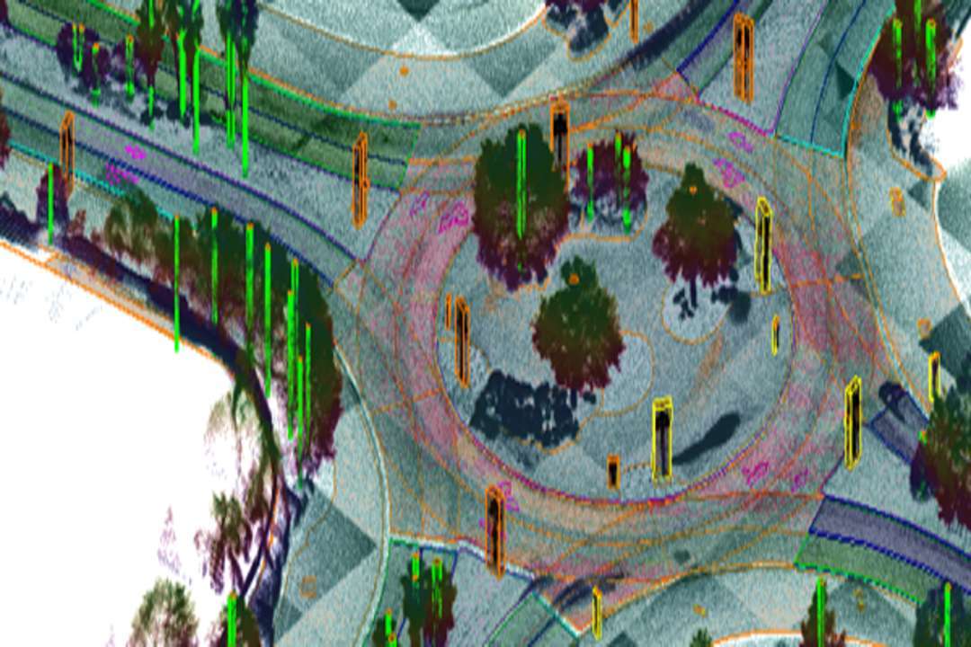
The project will cover around 625 sq km of Ahmedabad and create a detailed digital representation of the city. The mapping will include land parcels, properties, roads, water supply networks, sewerage systems, stormwater drainage and other important civic infrastructure. Around 25 lakh properties will be surveyed, geocoded and assigned unique digital identities. This will create a property-level spatial database that can be used by government departments for planning, administration and infrastructure management.
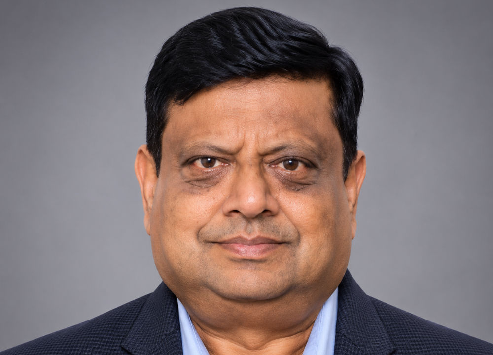
Sajid Malik, Chairman and Managing Director, Genesys International, said, “Ahmedabad – like most Indian cities – is entering an important phase in its urban development, and the ability to understand the city as a connected, three-dimensional digital environment will be increasingly important. This project is not simply about a digital map; it is about building a high-precision digital representation of the city that brings together land, properties, roads, utilities and underground infrastructure on a common spatially intelligent platform.”
The project will use Genesys’ advanced surveying and mapping systems to create a detailed digital model of Ahmedabad. An elevation model will be developed using orthophotography. The company will also establish 40 primary and 200 secondary survey control points to improve the accuracy of the city’s geospatial database.
Mapping of underground infrastructure will be another important part of the project. Existing water supply, sewerage, stormwater drainage and cable networks will be surveyed and mapped, including information on their location and depth. The information will be integrated into a central GIS database.
The unified platform will allow different civic departments to access common information on above-ground and underground infrastructure. This is expected to support better coordination, infrastructure planning, maintenance and future development. For Genesys, the Ahmedabad project adds to its work in 3D mapping, digital twins, high-definition mapping and spatial intelligence. The company combines surveying, GIS, artificial intelligence and spatial data to create digital representations of cities and infrastructure.
The project is expected to be completed over two-and-a-half years, followed by five years of operation and maintenance. The platform is expected to support applications covering property administration, utility management, infrastructure planning, mobility, disaster preparedness and civic service delivery.
Genesys International Corporation Ltd is a premier player in advanced mapping solutions. With a team of over 2,000 professionals and a comprehensive network of sensors across India, the company is at the forefront of developing the new digital map infrastructure. Genesys is known for its deep understanding of emerging consumer applications in mapping technology and its ability to deliver cutting-edge solutions for enterprise and government markets.