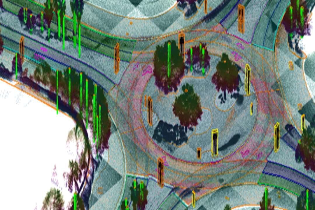
Genesys International Corporation Ltd has introduced an advanced Ground Penetrating Radar (GPR) system from IDS GeoRadar for high-precision mapping of underground utilities across India. The solution uses patented Equalised Scrambling Technology (EST) along with wide and multi-array antenna capabilities to produce high-resolution three-dimensional images of subsurface infrastructure.
The technology enables accurate detection and mapping of buried utilities including water pipelines, sewer networks, telecom cables, power lines and other critical infrastructure. By generating detailed 3D insights beneath the surface, the system allows urban planners, infrastructure developers and engineering agencies to identify underground assets with greater clarity before excavation or construction work begins.
Underground infrastructure mapping has become increasingly important as Indian cities expand and large-scale construction projects accelerate. Limited or outdated information on buried utilities often leads to accidental damage, delays in project execution and safety risks during construction. The newly introduced GPR system addresses these challenges by providing reliable subsurface intelligence that can guide infrastructure planning and minimise disruption.
Genesys plans to combine the IDS GeoRadar technology with its own digital mapping and three-dimensional geospatial platforms. This integration will support the creation of subsurface digital twins for urban environments, allowing city authorities and infrastructure managers to visualise, manage and monitor underground assets more effectively.
The solution is expected to support a wide range of infrastructure initiatives including smart city projects, metro rail expansion, highway construction, water infrastructure upgrades and utility modernisation programmes. Accurate underground mapping can also help multiple agencies coordinate construction activities while protecting existing networks.
Commenting on the launch, Sajid Malik, Chairman and Managing Director of Genesys International Corporation Ltd, said the growing scale of infrastructure development in India requires better understanding of underground networks. He noted that many critical assets, particularly water infrastructure, remain poorly mapped and vulnerable during excavation activities.
According to Mr Malik, the introduction of advanced GPR technology will help improve planning accuracy, reduce construction risks and support the development of smarter and more resilient urban infrastructure by enabling cities to build reliable digital records of subsurface utilities. Genesys International Corporation Ltd is a premier player in advanced mapping solutions. With a team of over 2,000 professionals and a comprehensive network of sensors across India, the company is at the forefront of developing the new digital map infrastructure. Genesys is known for its deep understanding of emerging consumer applications in mapping technology and its ability to deliver cutting-edge solutions for enterprise and government markets.